
© Andre Gorzynski 2015


Photographic Expressions
www.andrephoto.com
Andre Gorzynski
716-553-1115
Adventure, Travel, Education,
Photography, Architecture
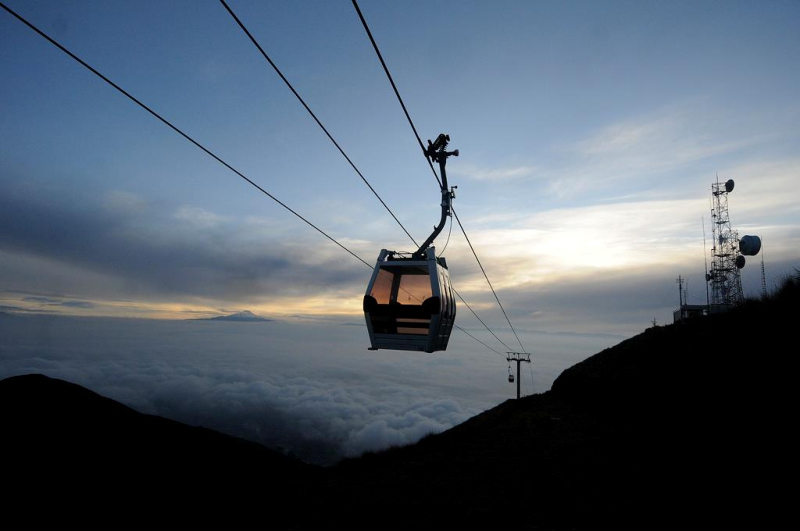
E X P L O R E E C U A D O R
GEOGRAPHY OF ECUADOR
Ecuador is a small but geographically diverse country.
At about 256,370 square kilometers,
it covers an area slightly larger than of Great Britain.
The country is located on the Equatorial Line along the
northwestern coast of South America and is bordered by
Colombia to the north, Perú to the South and East and
Pacific Ocean to the west.
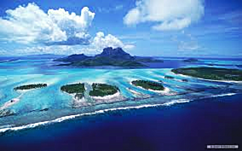
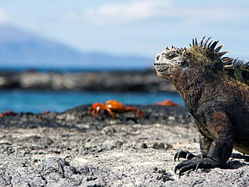
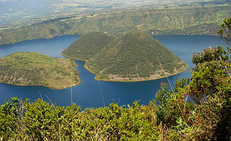
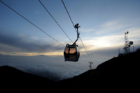
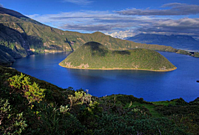
Ecuador offers 4 distinct regions: the Andean highlands
(Sierra), the mysterious tropical jungle (Oriente), the broad
coastal plains and the unique Galápagos Islands.
CLIMATE
Ecuador’s climate is so varied that it makes any time of the
year the right time for a visit.
In the highlands, the weather remains at a perfect, spring
like climate year round. Every valley seems to have its own
microclimate. In general, however, the average temperature
in the Sierra rises to a dry 22º C / 72º F at midday to a cool
8º C /46º F in the early morning and evening. Generally, t
he driest months in the Northern and Central Andes are from
June to September. In the southern highlands, the driest
months are from August to January.
Rain tends to appear along the Pacific Coast, so although
it may rain in northern Esmeraldas, so does near the
Peruvian border. In spite of rainfall, the coast can be enjoyed
year-round, with cooler temperatures more common from
June to September. In the Oriente or the Amazon basin,
heavy rain can fall at any time, but it usually wettest from
April to September. The Galápagos and the coast
are both hot (averages of 31º C / 88º F) from January to April,
when heavy showers are likely. From May to September is
the island´s cooler misty season.
HIGH AND LOW SEASONS
The great diversity of attractions and climates means that
there are really no high and low seasons in Ecuador. Still,
the high international tourist season is from June to early
September, which is the best time for trekking, climbing,
mountain biking and all adventure sports. There is also a
shorter tourist season between December and January, when
visitors must take care to book Galápagos tours well in
advance. Ecuadorians take long weekends around Carnival,
Easter weekend and over Christmas and New Year’s.
School vacations in the highlands are from July to September
and on the coast from January to March. Ecuador is not
overcrowded at any time of the year.
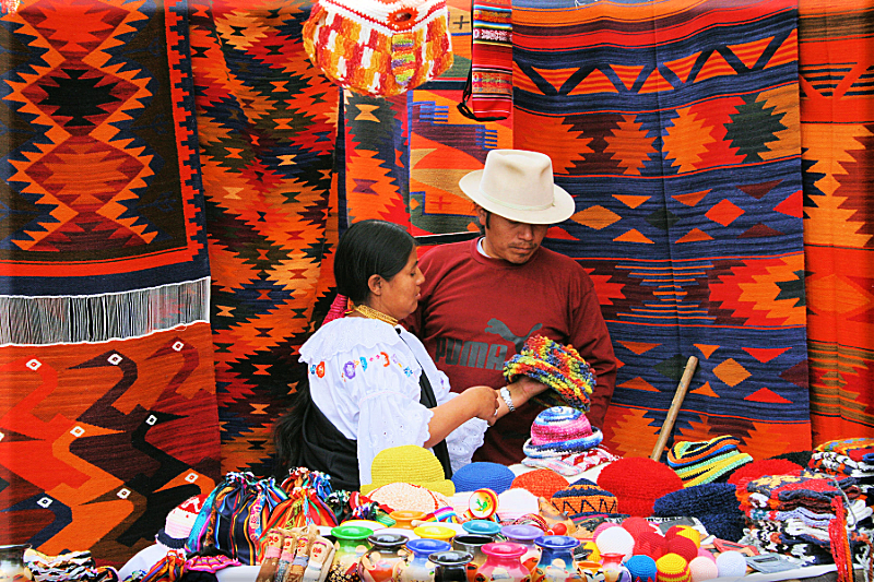
LANGUAGE
The official languages of Ecuador are Spanish and Kichwa.
English is spoken in the major visitor centers and European
Languages may be spoken in some establishments catering
to tourists in Quito and the more popular tourist destinations.
Welcome
UNIQUE PHOTOGRAPHY IN BUFFALO AND WESTERN NEW YORK


www.andrephoto.com
Adventure, Travel, Education,
Photography, Architecture
E X P L O R E E C U A D O R
GEOGRAPHY OF ECUADOR
Ecuador is a small but geographically diverse country.
At about 256,370 square kilometers,
it covers an area slightly larger than of Great Britain.
The country is located on the Equatorial Line along the
northwestern coast of South America and is bordered by
Colombia to the north, Perú to the South and East and
Pacific Ocean to the west.
Ecuador offers 4 distinct regions: the Andean highlands
(Sierra), the mysterious tropical jungle (Oriente), the broad
coastal plains and the unique Galápagos Islands.
CLIMATE
Ecuador’s climate is so varied that it makes any time of the
year the right time for a visit.
In the highlands, the weather remains at a perfect, spring
like climate year round. Every valley seems to have its own
microclimate. In general, however, the average temperature
in the Sierra rises to a dry 22º C / 72º F at midday to a cool
8º C /46º F in the early morning and evening. Generally, t
he driest months in the Northern and Central Andes are from
June to September. In the southern highlands, the driest
months are from August to January.
Rain tends to appear along the Pacific Coast, so although
it may rain in northern Esmeraldas, so does near the
Peruvian border. In spite of rainfall, the coast can be enjoyed
year-round, with cooler temperatures more common from
June to September. In the Oriente or the Amazon basin,
heavy rain can fall at any time, but it usually wettest from
April to September. The Galápagos and the coast
are both hot (averages of 31º C / 88º F) from January to April,
when heavy showers are likely. From May to September is
the island´s cooler misty season.
HIGH AND LOW SEASONS
The great diversity of attractions and climates means that
there are really no high and low seasons in Ecuador. Still,
the high international tourist season is from June to early
September, which is the best time for trekking, climbing,
mountain biking and all adventure sports. There is also a
shorter tourist season between December and January, when
visitors must take care to book Galápagos tours well in
advance. Ecuadorians take long weekends around Carnival,
Easter weekend and over Christmas and New Year’s.
School vacations in the highlands are from July to September
and on the coast from January to March. Ecuador is not
overcrowded at any time of the year.
LANGUAGE
The official languages of Ecuador are Spanish and Kichwa.
English is spoken in the major visitor centers and European
Languages may be spoken in some establishments catering
to tourists in Quito and the more popular tourist destinations.
Welcome


